Perth's early real estate maps
Contact
Nov 10, 2015
Perth's early real estate maps
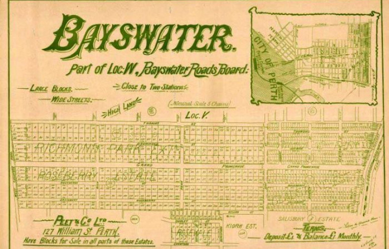
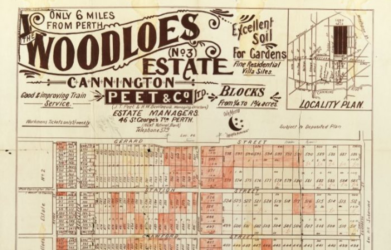
About 80 maps that were plans from the Peet & Co company have been digitised, and the library is working its way through many more.
If you live in Perth and you're a history buff, you'll be glad the State Library of Western Australia is making hundreds of maps available online so you can see original plans of your suburb. Many street names have changed since the largely hand-drawn maps were created between 1895 to the 1920s.
The library has had the maps for many years, but only now digitised them. About 80 maps that were plans from the Peet & Co company have been digitised, and the library is working its way through the rest of the vast collection.
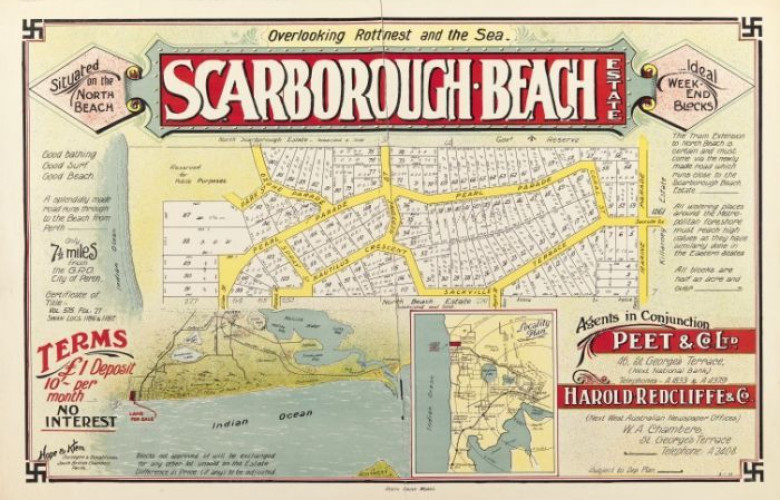
The maps revealed much about the development of metropolitan Perth, said specialist librarian Tricia Fairweather. Scarborough was originally promoted as an ideal weekend home location, while Kalamunda was promoted as having healthy mountain air. A real estate poster for blocks in Scarborough described the area as "overlooking Rottnest and the sea" with "ideal weekend blocks" which were available for a £1 deposit and 10 shilling a month in repayments. The median price for a three-bedroom house in Scarborough is now $755,000.
Fairweather said the swastika symbol in the corner of some of the maps had nothing to do with Nazism because it was too early for Nazi-connotations in that era, but rather, was used because it was an ancient and sacred symbol for Indian religions associated with good luck and auspiciousness.
To search for the maps online, visit the State Library of WA catalogue.
Contact Details:


