Aerial photographs reveal storm damage
Contact
Aerial photographs reveal storm damage
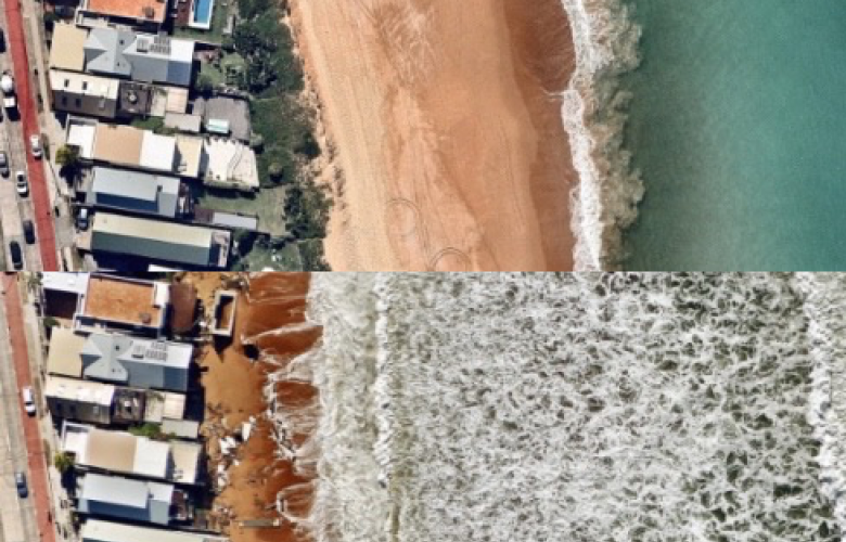
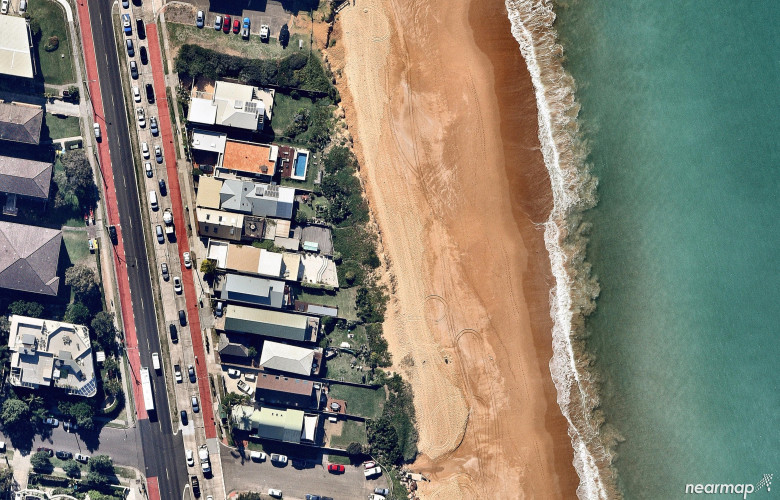
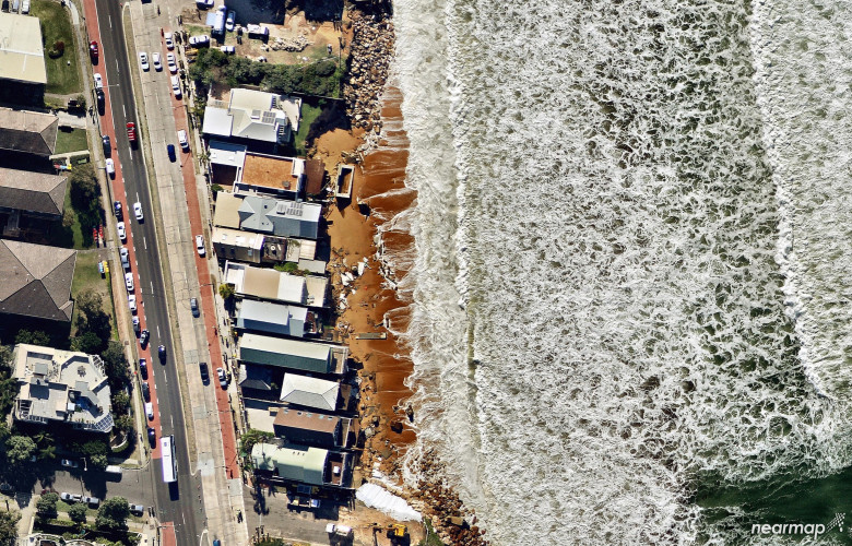
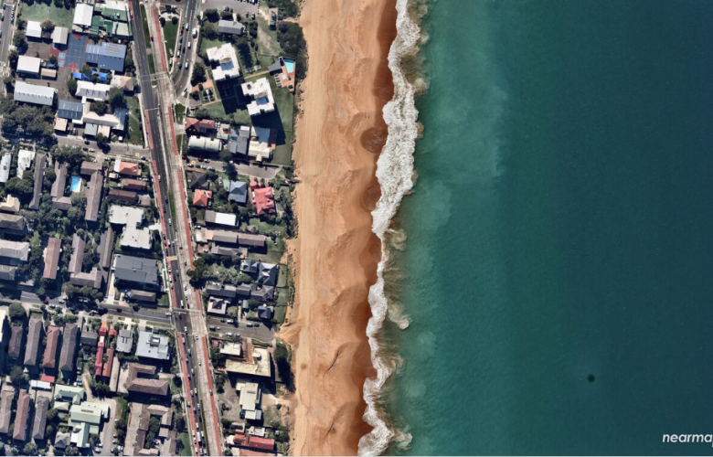
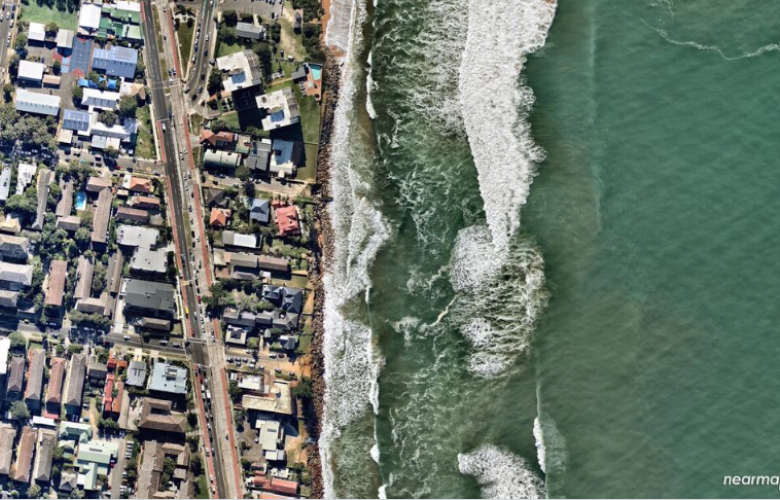
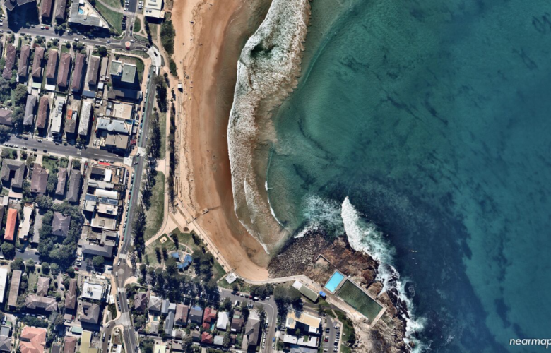
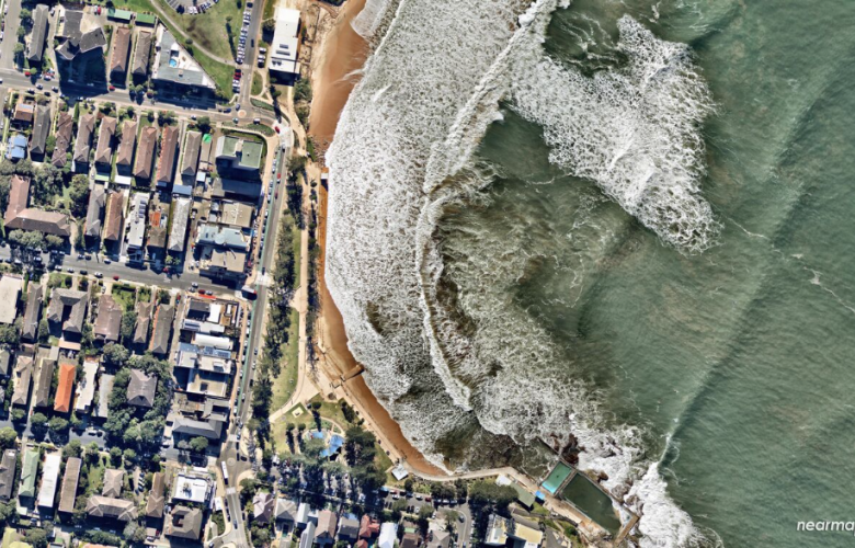
Aerial photographs of Sydney's northern beaches give a bird's-eye view of the storm damage.
While wild weather caused severe damage up and down the east coast last week, Collaroy was singled out, not only for the devastating damage to property, but also for the loss of land caused by erosion from the sea.
Nearmap has released 'data-rich' aerial photographs of Sydney’s northern beaches taken before and after the storms. The damage and loss of property at Collaroy is rendered with digital clarity for all to see.
Nearmap helps governments, businesses and insurance companies to monitor and assess damage caused by natural disasters like the recent storms.
John Biviano, Australian senior vice president and managing director for Nearmap, said, “The recent storms had a devastating impact on communities across the east coast of Australia. Information and images of the damage, like our aerial imagery, will become an important tool to help assess the impact and begin the restoration process.”
The weather crisis saw the SES perform over 300 flood rescues, and the damage bill is expected to be around $100 million.
See also:
How infrastructure is changing the face of Sydney

